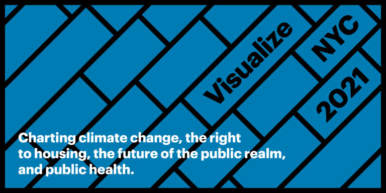
How can data communicate the complexities of New York City? This program series shows how the data visualizations for the digital project Visualize NYC 2021 were produced, providing a behind behind-the-scenes perspective from both the people who created the data visualizations and the data itself. Learn how data can create civic action through a conversation on the process by which city agencies and other groups collect data, use it to inform policy, and collaborate with designers to communicate to the public, thereby generating the support needed to make policy changes.
This program will explore the datavisualizations “Online | Offline Mismatch“, and “How Has the Pandemic Shifted Street Activity” which are included in the Expanding Public Realm section of Visualize NYC 2021. Streets in New York City are threatened by the shuttering of retail spaces across the city, largely due to the growing popularity of online shopping and further impacted by COVID-19 restrictions on businesses. The MIT student visualization explores this issue by comparing retail’s online presence to its physical foot traffic. The “How Has the Pandemic Shifted Street Activity” visualization explores New York City’s streets pre- and post-COVID-19 restrictions, allowing us to see the dramatic changes to the ways New York City’s streets were used in the early stages of the pandemic.
Visualize NYC 2021 is organized by AIA New York and Center for Architecture with MIT’s Civic Data Design Lab (CDDL).
Zhuangyuan Fan, MIT Student
Maoran Sun, MIT Student
Tianyu Su, MIT Student
Brennan Lake, Senior Director of Research Partnerships, Cuebiq
Esteban Moro, Visiting Professor, MIT Media Lab; Associate Professor, Universidad Carlos III de Madrid